 Caen Hill Locks (Construction)
Rowde, Wiltshire, UK - Full screen map
[51.3525943... - -2.0267200...]

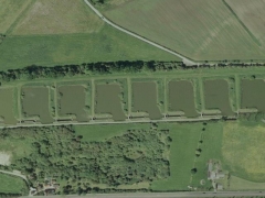
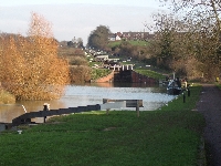
The locks 29 have an elevation of 72 m by 3.2 km. The locks come in three groups. Because of the slope, the books between the locks are very short. This flight of locks was engineer John Rennie, the solution to the escalation of the very steep hill, and the last part of the 87 mile route of the canal to be completed.

Advertisements